For residents, commuters, weather agencies and civic administrators alike, the coming days will demand exactly the kind of alertness and precaution that intense monsoon spells always require.
The Weather System Behind the Rainfall
The current rainfall episode was triggered by a low-pressure area over the Bay of Bengal — a familiar monsoon-season weather pattern that regularly brings intense rainfall to eastern India, particularly to West Bengal, Odisha and neighbouring regions.
The system has already brought moderate to heavy showers to almost all districts of south Bengal, including Kolkata, on Monday and Tuesday. The Met Department has forecast that Kolkata is likely to receive light to moderate rainfall on Wednesday and Thursday — continuing the wet weather pattern that residents have been navigating for several days.
The Yellow Alert Details
According to the latest weather bulletin, a yellow warning has been issued for all districts of south Bengal — including Kolkata — for Wednesday. The warning also flags gusty winds with speeds of 30 to 40 km per hour across the region.
Some districts have been flagged for potentially moderate to heavy rainfall. A specific warning of heavy rainfall has been issued for Purulia, West Burdwan and Birbhum on Wednesday.
For residents in these districts, the warning is a signal to take routine precautions — avoiding unnecessary travel where possible, staying alert to any localised waterlogging or flooding, and remaining attentive to any further official advisories that may be issued as the day progresses.
The North Bengal Picture
While south Bengal navigates its own weather challenges, north Bengal is also expected to see continued unsettled weather over the next few days.
The Met Department has issued a warning of heavy rainfall across the northern region, with extremely heavy rain likely in Jalpaiguri and Alipurduar on Thursday. Jalpaiguri, Cooch Behar and Alipurduar are all expected to receive heavy rainfall for three consecutive days.
That's a significant weather system for the region — one that will require sustained attention from residents, district administrations and disaster response systems across those areas. Heavy rainfall over multiple consecutive days can quickly translate into river swelling, waterlogging in urban areas, and increased landslide risk in hillier zones.
The Bolpur Situation
The continuing rain has already produced visible disruptions in parts of the state. In Birbhum district, several wards of Bolpur were submerged following persistent overnight rainfall. Water accumulated on roads and in low-lying areas — affecting movement and daily life for local residents.
The situation at Gitanjali Theatre in Bolpur was particularly difficult, with water reportedly reaching knee-deep levels on the premises. Residents and visitors faced considerable inconvenience as water also entered the premises of several institutions and houses.
Waterlogging on the roads further affected local transportation — creating exactly the kind of everyday disruption that intense rainfall episodes typically bring to urban and semi-urban areas that were not designed with heavy monsoon drainage in mind.
Kolkata's Wednesday
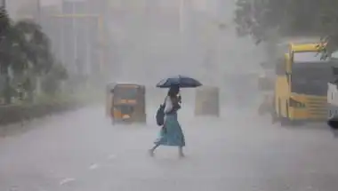
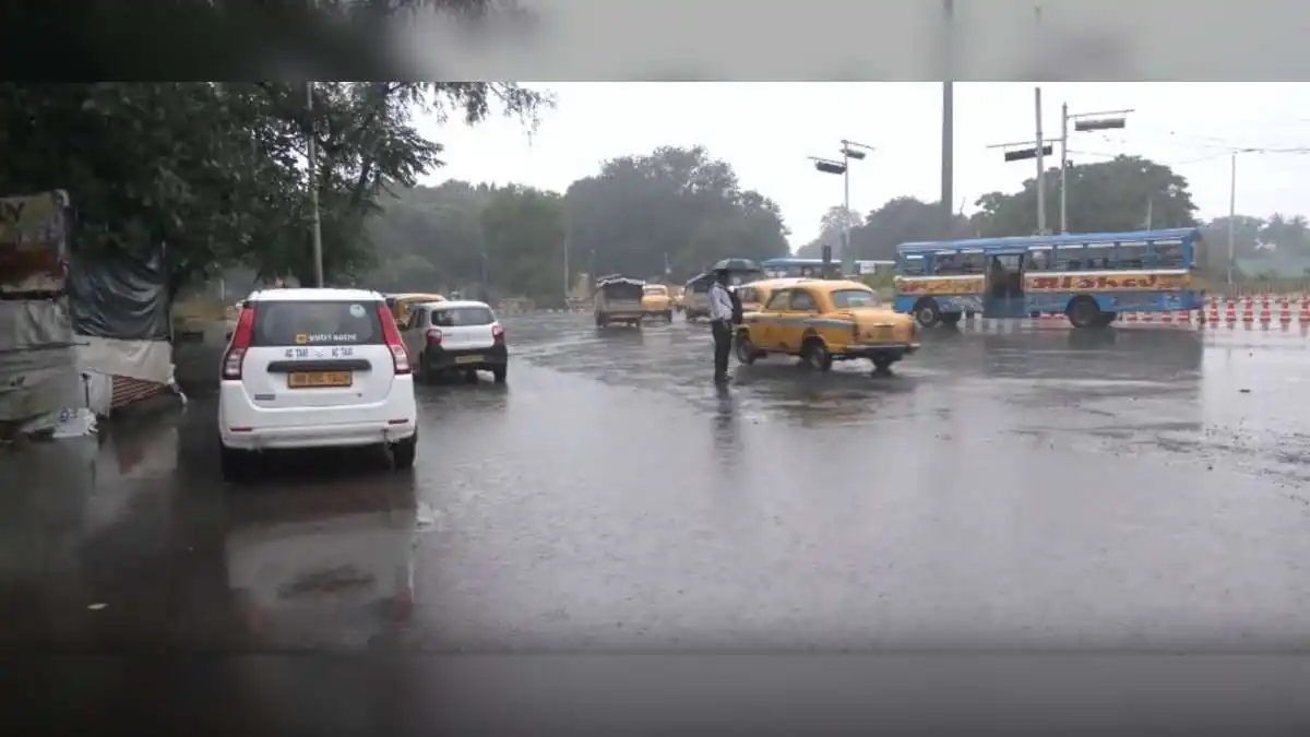
Kolkata itself witnessed heavy rain from Wednesday morning, leaving several streets waterlogged across parts of the city. The city recorded a minimum temperature of 26.2 degrees Celsius on Wednesday. The maximum temperature in Kolkata and adjoining areas on Tuesday was 28.02 degrees Celsius.
For a city as densely populated and as dependent on smooth urban movement as Kolkata, even localised waterlogging can create meaningful daily-life disruption — affecting commutes, business operations, school schedules and general urban activity.
The Extended Forecast
Weather conditions are expected to improve slightly from Thursday. However, scattered rainfall is likely to continue across southern districts until September 8 — meaning that residents should not expect a dramatic, immediate return to dry conditions.
The RMC in Kolkata has predicted scattered light to moderate rain accompanied by thunderstorms in other parts of West Bengal until September 8.
For anyone planning outdoor activities, travel or other weather-dependent engagements over the coming week, the message is straightforward — monitor local weather updates, stay flexible with plans, and prioritise safety over rigid adherence to schedules.
Why It Matters
West Bengal's monsoon rainfall is essential to the state's ecology, agriculture and water resources. Well-distributed monsoon activity supports crops, replenishes water bodies, sustains river systems and shapes the seasonal rhythms of everyday life across the state.
However, intense rainfall episodes also bring significant challenges — particularly to urban areas that face waterlogging in low-lying zones, and to communities living close to swollen rivers and streams. Balancing the essential role of the monsoon with the practical challenges of managing intense rainfall episodes is one of the persistent tests of urban and rural planning across the state.
Days like Wednesday, when heavy rainfall is combining with active alerts and visible urban disruption, are exactly when preparedness systems, drainage infrastructure and community response capacity are tested in real time.
Community and Institutional Response
For the West Bengal government's disaster management authorities, municipal bodies, urban local bodies and district administrations, the coming days will require continued vigilance and rapid response capacity. Real-time monitoring of water accumulation in vulnerable urban areas. Ready deployment of drainage and pumping resources. Timely public advisories through appropriate channels. Coordination with utility providers to minimise weather-related service disruptions.
For residents in affected districts, particularly Bolpur, Birbhum and other south Bengal areas facing significant waterlogging, the situation calls for practical caution — avoiding waterlogged roads where possible, being alert to any electrical safety hazards near submerged areas, and cooperating with any local advisories that may be issued.
Everyday Impact
For daily commuters across Kolkata and south Bengal, the weather is creating exactly the kind of everyday disruptions that intense rainfall spells typically bring. Delayed movement. Waterlogged streets in some areas. Reduced visibility during heavy showers. General slowness across urban systems.
For businesses, schools, healthcare providers and other institutions operating in affected areas, the situation calls for flexible planning and thoughtful accommodation of employees, students and users navigating weather-related challenges.
The Cultural Context
For a state like West Bengal — where monsoon rains are deeply woven into cultural memory, literary traditions and everyday emotional life — this kind of intense rainfall spell is a familiar visitor. Kolkata's poets, filmmakers, musicians and everyday citizens have long carried a complex, romantic-yet-practical relationship with the monsoon.
Even amid the practical disruptions of days like Wednesday, that cultural affection for the rains remains part of what makes the season distinctive for the state.
The Bigger Picture
West Bengal's current weather situation is a reminder of the everyday realities of navigating an active monsoon in a densely populated, geographically diverse state. A low-pressure system over the Bay of Bengal. Yellow warnings across south Bengal districts. Heavy rainfall alerts for Purulia, West Burdwan and Birbhum. Extremely heavy rainfall warnings for Jalpaiguri and Alipurduar in the north. Visible waterlogging in Bolpur and parts of Kolkata. And scattered rainfall likely to continue for nearly a week.
Each of these dimensions calls for coordinated attention from weather agencies, administrative authorities and residents themselves.
For West Bengal's institutional systems, the coming days will require sustained coordinated action across weather monitoring, urban drainage management, disaster response and public communication. For residents, the priority is caution, patience and cooperation with official advisories.
As the state now navigates the current weather episode and moves toward the coming days, the message from the RMC in Kolkata is unambiguously clear. The rain isn't done yet. The forecast points to continued unsettled conditions across the state until at least September 8. And residents should prepare accordingly — with sensible precaution, careful planning and attentive engagement with official weather updates.
For anyone currently in West Bengal — whether residing in the state, visiting for work or travel, or simply following the weather with concern — the priority is straightforward. Stay alert. Stay safe. Follow local advisories. Avoid unnecessary risks near waterlogged areas or swollen water bodies. And extend care and cooperation to the communities most affected by the current situation.
Because as with every intense monsoon spell, the way through is the same combination of thoughtful individual behaviour, responsive institutional systems and shared community care that has always defined how Bengal has weathered the more challenging chapters of its monsoons. And on that front, the coming days will offer plenty of opportunity for exactly the kind of collective resilience that the state has always demonstrated when its weather turns intense.
Also Read: Met Office Predicts Heavy Rain in South Bengal Till Tuesday