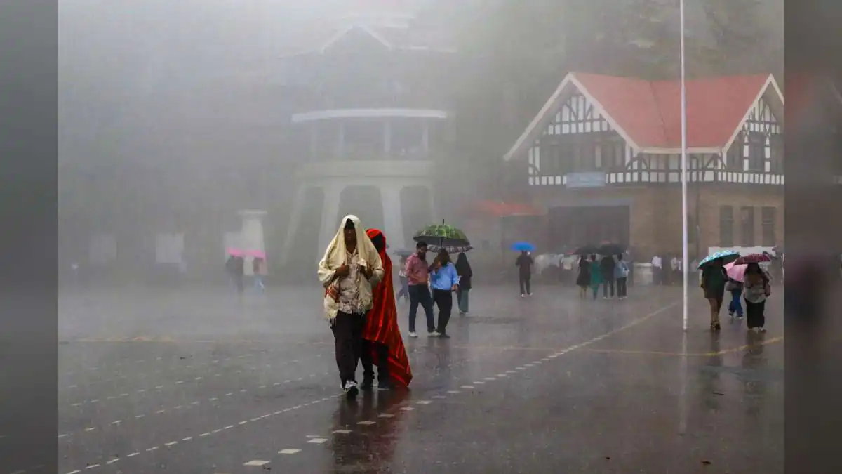
For a state whose economy, ecology, agriculture and everyday life are deeply tied to monsoon patterns, the August numbers deserve close attention — and the details behind the headline figure tell a much more nuanced story.
The Headline Numbers
Himachal Pradesh received 212.5 mm of actual rainfall against a normal of 256.8 mm in August — a shortfall of 17 per cent. Officially, the IMD has categorised this as "normal" precipitation, since departures within a specified range still fall within the normal band, though the deficit is clearly on the higher side of that range.
That combination — technically normal but with noticeable deficit — reflects the kind of transitional monsoon pattern that has become increasingly common across many parts of India in recent years.
An Uneven Month
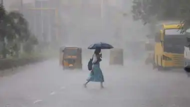
The rainfall wasn't uniformly distributed across the month. IMD's analysis shows that the state received scattered to fairly widespread precipitation on many days of August, but the intensity varied significantly.
Active monsoon activity was recorded on five days — August 5, 7, 11, 19 and 31. Weak monsoon activity, on the other hand, was observed on 11 days — August 2, 3, 9, 13, 14, 21, 25, 27, 28, 29 and 30.
That pattern — of concentrated bursts of active rainfall interspersed with extended stretches of weak activity — is what shaped the overall monthly total, and it also explains why some districts felt the rainfall more strongly than others.
The Intense Days
Some days during August delivered particularly heavy rainfall bursts to specific districts.
Very heavy rain was recorded at isolated places over Sirmaur and Bilaspur districts on August 4, over Sirmaur and Una districts on August 5, over Kangra district on August 15, and over Una, Bilaspur, Hamirpur and Kangra districts on August 19.
Heavy rain was observed at isolated places on multiple days. On August 2, Bilaspur received heavy rainfall. On August 3, Mandi, Bilaspur and Sirmaur districts received heavy rainfall. On August 4, Sirmaur received heavy rainfall. On August 5, Sirmaur, Bilaspur, Kangra, Mandi and Hamirpur districts received heavy rainfall. On August 6, Chamba and Kangra received heavy rainfall. On August 7, Sirmaur, Mandi and Kangra received heavy rainfall. On August 29, Kangra received heavy rainfall. And on August 31, Chamba, Kangra, Bilaspur, Sirmaur and Mandi received heavy rainfall.
Together, these localised intense rainfall events shaped the district-level rainfall picture across the state.
District-Level Variations
The most striking element of August's rainfall picture is the sharp variation across districts.
Kangra district received the highest rainfall in the state at 658.0 mm — reflecting the district's traditionally higher exposure to monsoon activity. At the other extreme, Lahaul-Spiti district received the lowest rainfall at just 27.8 mm — a stark contrast to Kangra's numbers, and one that reflects the very different climatic conditions in the high-altitude cold desert region of the state.
Sirmaur district recorded the highest positive rainfall departure at 17 per cent, meaning it received more rainfall than its August normal. Lahaul-Spiti district, on the other hand, recorded the highest negative rainfall departure at minus 76 per cent — a very significant deficit for the district.
The Broader District Picture
The overall district-wise classification also reveals a mixed rainfall performance.
Bilaspur, Kangra, Kullu, Mandi, Shimla, Sirmaur and Una districts have received normal precipitation. Chamba, Hamirpur and Solan districts have received deficient precipitation. The remaining districts have received large deficient precipitation.
That distribution reflects one of the enduring truths about weather in a state like Himachal — geography matters enormously. Between higher and lower elevations, between windward and leeward slopes, between the state's western plains-adjacent districts and its northern high-altitude regions, rainfall patterns can vary dramatically within a single month.
Why It Matters
Himachal Pradesh's economy, ecology and everyday rural life are deeply shaped by its monsoon patterns. The state's agriculture — including its important horticulture and apple-growing sectors — depends on well-timed rainfall. Its hydroelectric power generation depends on adequate water inflows into reservoirs. Its drinking water supply relies on healthy rainfall replenishing local sources. And its ecological balance across forests, streams and rivers is inextricably linked to seasonal rainfall patterns.
When rainfall is below normal — particularly when specific regions experience very sharp deficits like the minus 76 per cent departure in Lahaul-Spiti — the consequences can be meaningful across multiple sectors.
Agricultural and Ecological Impact
For agriculture, uneven rainfall creates uneven outcomes. Districts that received normal rainfall may see relatively stable agricultural performance, while districts that experienced deficient or large-deficient rainfall may see impact on crop yields, soil moisture retention and irrigation availability.
For horticulture in Himachal, timely, well-distributed rainfall is particularly important. Any prolonged imbalance can affect fruit quality, ripening cycles and overall crop economics.
For the state's forests, streams and wildlife, sustained rainfall deficits over multiple years can gradually contribute to ecological stress — particularly in already-vulnerable high-altitude regions.
Water Resource Implications
Himachal Pradesh is home to some of India's most important river systems and hydroelectric projects. Water inflows into reservoirs and rivers depend heavily on monsoon rainfall patterns.
When rainfall underperforms in specific regions, water resource authorities need to factor these deficits into their planning — both for hydropower generation and for downstream water supply to other states that depend on Himalayan river systems.
Climate Context
The August performance also fits into a broader climate context. IMD had earlier forecast below-normal rainfall across India for September, citing strong El Nino conditions prevailing over the equatorial Pacific. That larger climate pattern likely contributed to the mixed rainfall performance across Himachal in August.
For state agencies planning ahead into September and October, staying alert to continued rainfall variability — particularly in already deficient regions — will be important.
Institutional Response
For Himachal's state disaster management authorities, agriculture departments, water resource agencies and rural development bodies, the August rainfall picture provides important early data on where attention may be needed most in the coming weeks.
Districts with large deficient precipitation may require closer monitoring — including agricultural extension support, water conservation planning and community advisories on managing available water resources carefully.
The Bigger Picture
Himachal Pradesh's August 2026 rainfall picture is a story of contrasts. Kangra received 658 mm, while Lahaul-Spiti received just 27.8 mm. Some districts recorded normal or above-normal rainfall, while others faced significant deficits. And overall, the state's August total ranks 29th lowest since 1901 — placing it well below what has historically been received in the wettest August months.
For a state where every district experiences the monsoon differently, and where the impact of rainfall varies enormously based on geography, elevation and dependent activity, the numbers tell a much richer story than any single average could convey.
As Himachal Pradesh now steps into September, weather patterns will continue to be closely watched. IMD's forecast of below-normal rainfall across India for September, combined with the mixed August performance, means state authorities and citizens alike will need to remain vigilant about water conservation, agricultural planning and disaster preparedness in the coming weeks.
For Himachal Pradesh's residents, from farmers in Kangra to families in Lahaul-Spiti, the message from August's rainfall data is clear. The monsoon has behaved unevenly this year. Some regions have received their fair share. Others have not. And as the season begins to wind down, adapting thoughtfully to these variations — and preparing for whatever the coming weeks bring — will be one of the state's most important collective priorities.
Because in a state as geographically and ecologically diverse as Himachal Pradesh, understanding rainfall not just as a state-level average but as a district-level reality is what turns weather data into meaningful, actionable insight. And on Tuesday, IMD's August summary did exactly that — offering everyone from policymakers to farmers a clearer picture of exactly where the state stands, and what may lie ahead.
Also Read: Delhi-NCR Braces for Rain, Thunderstorms Today