



























PM GatiShakti Turns 5: 396 Projects Worth ₹18.66 Lakh Crore Mapped

Five years after launch, PM GatiShakti has taken up 396 big infrastructure projects worth ₹18.66 lakh crore. How this digital master plan works, explained simply.

Raaisha Upadhyay
Raaisha Upadhyay Verified Public Figure • 16 Mar, 2026 Editor
Oct 12, 2026 • 4:06 PM  4
N
National
NEWS CARD
Logo
PM GatiShakti Turns 5: 396 Projects Worth ₹18.66 Lakh Crore Mapped
“PM GatiShakti Turns 5: 396 Projects Worth ₹18.66 Lakh Crore Mapped”

Favicon
Read more on en.nav18.in/s/07fd9c
12 Oct 2026
https://en.nav18.in/s/07fd9c
Copied
PM GatiShakti Turns 5: 396 Projects Worth ₹18.66 Lakh Crore Mapped

Key Highlights

  • Projects: 396 big-ticket infrastructure projects worth ₹18.66 lakh crore taken up as of August 11, 2026.
  • Progress: 256 sanctioned, of which 198 are under implementation.
  • Coverage: 58 Central ministries and departments, and all 36 states and UTs.
  • Data: Over 23,493 data layers on a common GIS platform; 230 datasets open to the public.
  • Milestone: The plan completes five years on October 13, 2026.

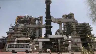
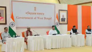
The PM GatiShakti National Master Plan, launched on October 13, 2021, completes five years this week. According to a government factsheet, 396 major infrastructure projects worth ₹18.66 lakh crore have been taken up under it as of August 11, 2026.

The Project Pipeline

Stage Projects Share
Taken up 396 100%
Sanctioned 256 ~65%
Under implementation 198 ~50%

Shares calculated from official figures.
On average, each project is worth roughly ₹4,700 crore.

How It Works, Simply

Think of GatiShakti as a shared digital map for everyone who builds infrastructure. Earlier, the roads ministry, railways, ports, power and telecom departments often planned separately, which sometimes led to a newly built road being dug up for a pipeline, or a railway line missing a connection to an industrial zone.

GatiShakti puts data from all these ministries and states on one Geographic Information System (GIS) platform. Planners can see existing roads, rail lines, ports, utilities, forests and economic zones together before deciding where to build.

Six Principles, Seven Engines

Six principles Seven engines
Integrated development Roads
Multimodal infrastructure Railways
Last-mile connectivity Ports
Faster land acquisition Waterways
Fewer clearances Airports
Lower ecological impact Mass transport, Logistics

An Example: Bihar’s Khagaria–Purnea Corridor

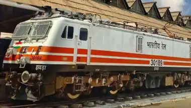
The upgraded corridor is planned to connect five economic nodes, including a textile cluster, mega food parks and fishing parks, along with 11 logistics nodes, to move goods and passengers faster across the region.

Why It Matters: Planning Before Building

Infrastructure delays in India have often come not from a lack of money but from poor coordination, land issues and missing links between projects. By mapping everything in one place, GatiShakti aims to cut duplication, speed up approvals and reduce environmental damage.

Its success, however, will ultimately be judged on the ground. With about half the listed projects under implementation, the next few years will show whether better planning translates into faster completion and lower costs.

Open Data for Businesses

The GatiShakti public platform offers 230 approved datasets, which businesses and planners can use for site selection, connectivity mapping and compliance checks, making it a useful tool beyond government.

The Bottom Line

Five years on, GatiShakti has become the planning backbone for some of India’s biggest projects. The real test now is turning digital maps into finished roads, railways and ports, on time.

With inputs from IANS.

favorite Follow us for the latest updates:

Raaisha Upadhyay Verified Public Figure • 16 Mar, 2026 Editor

Digital Archives

home Home amp_stories Web Stories local_fire_department Trending play_circle Videos mark_email_unread Newsletter