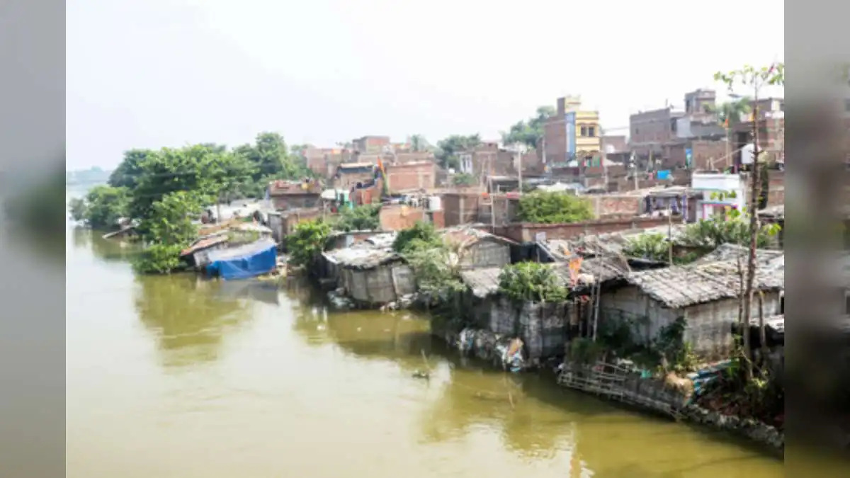




































Bagmati River Crosses Danger Mark in Muzaffarpur

Bagmati River breaches danger mark in Muzaffarpur following heavy rain in Nepal, prompting district flood alerts.

Raaisha Upadhyay
Raaisha Upadhyay Verified Public Figure • 16 Mar, 2026 Editor
Aug 7, 2026 • 4:01 PM  3
N
National
NEWS CARD
Logo
Bagmati River Crosses Danger Mark in Muzaffarpur
“Bagmati River Crosses Danger Mark in Muzaffarpur”

Favicon
Read more on en.nav18.in/s/6d7a7a
7 Aug 2026
https://en.nav18.in/s/6d7a7a
Copied
Bagmati River Crosses Danger Mark in Muzaffarpur

PATNA — Incessant torrential rainfall across upper catchment regions in neighboring Nepal has triggered a sharp surge in major river systems across North Bihar. In response, the Muzaffarpur district administration has put field teams and emergency response personnel on high alert following official confirmation that the Bagmati River has breached its critical danger mark.

According to the daily hydrological situation report issued at 6:00 a.m. on Friday by the Muzaffarpur District Emergency Operation Centre, several primary rivers in the region are registering steady upward trends, creating flood risks in adjacent low-lying blocks.


Hydrological Readings and Key Water Level Metrics

The official monitoring gauge at Kataujha recorded the Bagmati River flowing at 55.15 metres—exceeding its established danger threshold of 55.00 metres. Although field observations indicated a slight abatement in peak flow velocity later in the morning, the river continues to navigate above the danger line, maintaining pressure on local earthen embankments.

Simultaneously, adjacent river basins are experiencing a consistent rise in water levels:

  • Burhi Gandak River (Sikandarpur): Recorded at 49.16 metres against a danger mark of 52.53 metres. While currently below critical levels, the steady upward trajectory poses potential risks if upstream precipitation persists.

  • Gandak River (Rewaghat): Measured at 53.63 metres, hovering below its danger line of 54.41 metres but remaining under continuous observation due to increased discharge from upstream barrages.

On-Ground Surveillance and Administrative Measures

To protect vulnerable riparian communities, the Water Resources Department (WRD) has mobilized specialized teams, including junior engineers from the Water Discharge Division and personnel from the District Flood Control Room. Engineers are conducting 24/7 physical patrols along key embankment stretches to detect structural seepage or erosion early.

The district administration has urged residents living along low-lying riverbanks and floodplains to maintain vigilance and adhere strictly to safety guidelines. Contingency planning is underway in identified flood-prone blocks—particularly Katra and Aurai—to ensure immediate deployment of rescue boats, temporary shelters, and emergency relief supplies should water inundate residential areas.

At the state level, the Water Resources Department has activated a central monitoring control room in Patna. The control facility coordinates real-time data flow between district administration units, the Central Water Commission (CWC), and disaster management authorities across North Bihar and the Seemanchal belt to manage the evolving monsoon situation.

favorite Follow us for the latest updates:

Raaisha Upadhyay Verified Public Figure • 16 Mar, 2026 Editor

Digital Archives

home Home amp_stories Web Stories local_fire_department Trending play_circle Videos mark_email_unread Newsletter